Mobirise

ARCHITECTURAL SURVEY WITH 3D LASER SCANNERS

For every field of application

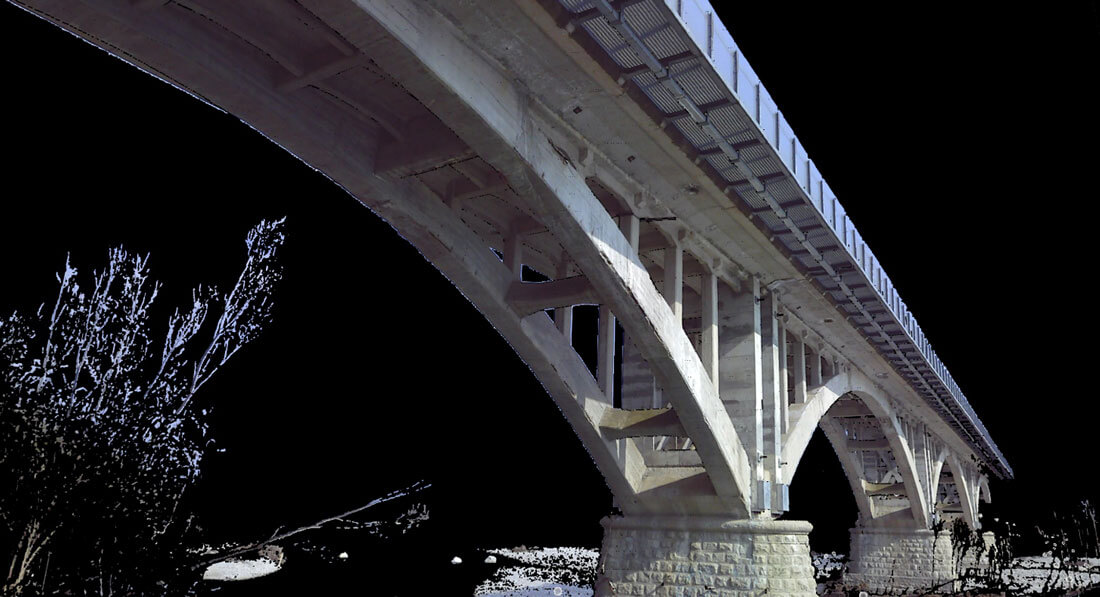
Ideal in the fields of Environment and Territory, Architecture (buildings, infrastructures, architectural elements), Archaeology, Cultural Heritage and Urban Topography.

Maximum precision

Thanks to the accuracy of the 3D relief, it offers absolute precision on furnishings and frescoes, details of floors and walls, systems and every small detail.

Suitable for all situations

The 3D scanner allows you to operate in complex or difficult to access situations, as well as in the case of suspected structural fragility or materials sensitive to the slightest contact.

The 3D revolution for architecture and the building sector

The 3D laser scanner allows new levels of analysis for the architectural survey, with a complete analysis of the condition of even very complex buildings.

Outdoor 3D surveys: fast, precise and always with you.

REQUEST A QUOTE

3D ARCHITECTURAL SURVEY

Laser scanner technology is the most performing method for surveying even complex architectures, especially in the field of cultural heritage. The survey, in addition to the high precision, guarantees the creation of a database with all the information relating to each object, detail or portion of the building surveyed. This technology extracts and processes 2D and 3D tables, essential for both the design of renovations and new buildings. Unlike traditional systems, its accuracy allows maximum precision on even minor details, such as furnishings, frescoes, details of floors and walls, systems.

Choose to innovate with us

Proto Studi has chosen to constantly update itself, with new technologies and new methods of action. With the 3D architectural survey you can improve the quality of your work.

Why use the 3D laser scanner

Using this technology in the architectural survey allows you to extract the data necessary to obtain the exact morphology of the building, highlighting all the points considered significant, and then displaying them in three dimensions. The interrogation of the point clouds, suitably calibrated and parameterized, allows for a visual analysis that would otherwise be impossible and highlights the elements of possible criticality.

2D renderings and 3D models

from 3D to 2D data

From the 3D survey, in addition to the three-dimensional models, it is possible to obtain 2D tables, such as plans, elevations, sections, or three-dimensional models for renovations or subsequent constructions.

Renovations

The basis for renovations

The exact geometric survey of existing objects can be used as a basis for renovations or extensions.

Feasibility study

Ideal for feasibility studies

The preventive survey simulates the environmental and urban impact of the work in its final construction context.

Facility Management

Detect all connected equipment

In addition to the structures, any connected equipment is detected, such as in the case of pipes, electric cables and the like.

Protection of cultural assets

Restorations, scientific analyses, making the work safe, virtual tours of historical sites not accessible to visitors: in all these cases, the laser scanner survey allows the documentation of historical buildings and archaeological sites.

Outdoor 3D surveys: fast, precise and always with you.

REQUEST A QUOTE

Protostudi Laser Scanner Faro

CONTACT US